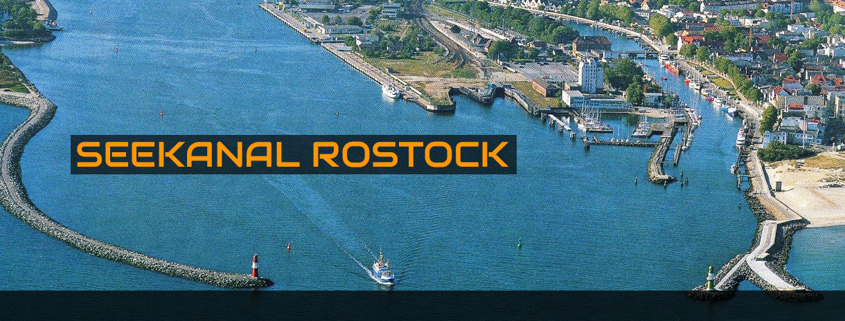
Execution and evaluation of sea state, ship wave and flow measurements as evidence in the context of various planning approval procedures for fairway adaptation of the Sea Channel in Rostock
Time schedule:
- 1996: Measurements before the start of the expansion
- 1998 – 1999: Measurements during the construction phase
- 1999 – 2000: Measurements after completion of the construction
- 1996 – 2002: Analysis and evaluation of the results
- 2017: Measurements before the anew expansion
- 2017 – 2018: Analysis and evaluation of the results
Client/Contract authority:
- Wasser- und Schifffahrtsamt Stralsund
- Wasserstraßen- und Schifffahrtsamt Stralsund
![]()
![]()
![]()
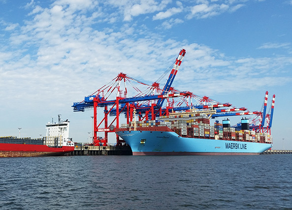
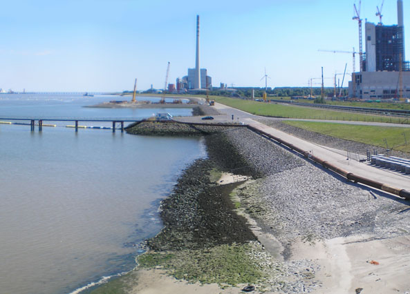
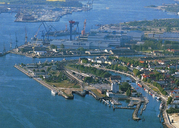
The sea channel is the seaward approach to the international port of Rostock which was built in the 1950s. After a first expansion of the navigable fairway during the years 1977 to 1979, vessels with capacities of up to 60,000 dwt were able to access the sea channel. Following the opening of the borders in 1989, traffic volume rapidly increased so that plans for a broadening and deepening of the sea channel as well as for a change of the mole system were quickly initiated.
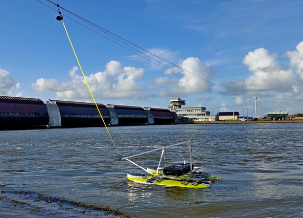
During the planning of these adjustments for vessels with a draught of 13 m, measurements of sea and ship waves and also currents were beside other things required as a basis for performing the planning approval procedure. IMP performed, analysed and evaluated these measurements during the years 1998 to 2002.
During planning approval, additional measurements became necessary as part of monitoring the building construction as well as after finishing construction to form a basis for validation of model forecasts and for documenting conditions after the extension. IMP conducted, analysed and evaluated these measurements too from 1998 to 2002.
During these assessments of ship induced exposures, IMP developed a computer-aided analysis approach. This approach for the first time enabled analyses of several thousand ship passages, thus forming a sufficiently large data base for statistical assessments of ship-induced exposures. This analysis approach, published by SPINGAT (1999), since then provides the basis for assessing ship-induced exposures for all German sea waterways.
since then provides the basis for assessing ship-induced exposures for all German sea waterways.
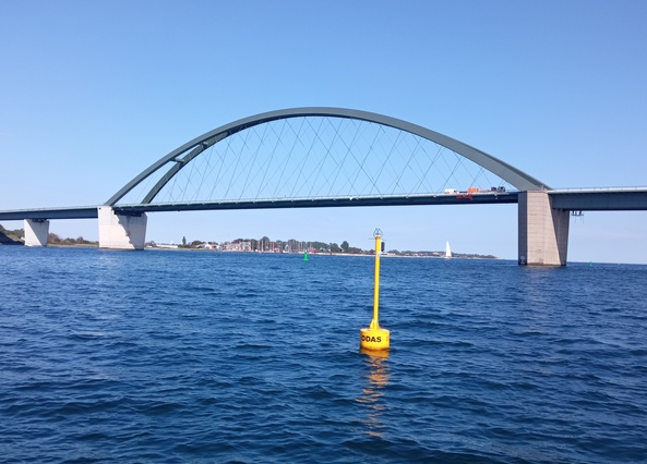
Until today, the ferry and freight traffic to and from Rostock has continuously increased. To ensure higher capacity utilization in bulk cargo traffic, approaches for ships with draughts of 15 m were chosen as the new target for expansion. For this pending planning approval procedure, adequate ship waves and current measurements were also required and were performed by IMP in 2017. Data analysis and evaluation of the results were completed in 2018 and are available as an essential basis for planning and as a reference for measurements after completion of the construction.
Measurements 1996 – 2000


Measurements 2017


IMP KEY PROJECTS:
SUBMARINE CABLES OFFSHORE WIND FARMS
MEASUREMENT PROGRAM FEHMARN SOUND CROSSING
LNG IMPORT TERMINAL WILHELMSHAVEN