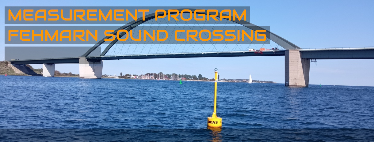
Implementation and evaluation of a hydrological measurement program as a planning basis for the new Fehmarn Sound crossing
Zeitraum:
- 2023 – 2024: Implementation of the measurement program
- 2024: Data evaluation and assessment of results of the measurements; submission of the result report
- 2024 – 2025: Supplementary measurements to determine a turbidity/suspended solids correlation under exposed conditions with an automatically operating sampler
Auftraggeber:
- Subcontracted by DMT GmbH & Co. KG, Hamburg for DEGES and Deutsche Bahn AG
![]()
![]()
![]()
Numerical model studies and extensive field investigations were necessary for the concretisation of the plans for the new crossing of the Fehmarn Sound and as a basis for a corresponding application of planning approval. The field investigations served to update the existing database and were also intended to provide verification data for the numerical model.
As part of the required fieldwork, IMP carried out the following measurements and samplings:
- Recording of time series of the current and sea state at the southern rim of the Fehmarn Sound over 1 year
- Monthly ADCP measurements on longitudinal profiles along the Fehmarn Sound with accompanying records of depth profiles of the water temperature, salinity, turbidity and suspended solids content at 7 locations over 1 year
- Monthly water sampling for forwarding to an accredited laboratory for the determination of the pollutant situation at 4 locations in the extended area of the project over 1 year
- Recording of time series of water temperature, salinity, oxygen content, turbidity and, in some cases, chlorophyll content at four locations in the immediate planning area of the project over a period of 1 year
- Sampling of the bottom sediments in the planning area in spring and autumn and analysis of grain size distributions
All field work could be carried out with IMP’s own work and measurement boat “IMPULS”.
In addition, the extensive surveying work carried out by Geo Ingenieurservice Nord-Ost GmbH Co. KG (Geo) in the project and reference area as well as the potential transport site for the dredged material was accompanied by IMP. From the multibeam echosounder and SideScan sonar measurements, depth plans were created and extensive mapping of the bottom sediments, reefs and seagrass meadows, among other things, was carried out.
The field work carried out by IMP was able to record and describe both the typical local dynamics and the situations under exposed conditions. In addition, significant, locally specific seasonal developments were documented.
Furthermore, the field work provided the first indications of a conversion relationship between the measured turbidity and the prevailing suspended solids content. However, the data collected were not sufficient for a reliable correlation relationship at high material concentrations, so that a supplementary measurement program was started to expand the data collective at exposed loads. For this purpose, IMP has developed an automatic sampler that can be operated autonomously for several weeks and automatically triggers water sampling in the event of defined, high turbidity. By the end of the 2024/2025 winter season, several measurement campaigns could be carried out with the sampler, so that the data collective at higher concentrations of material in the water body could be increased.
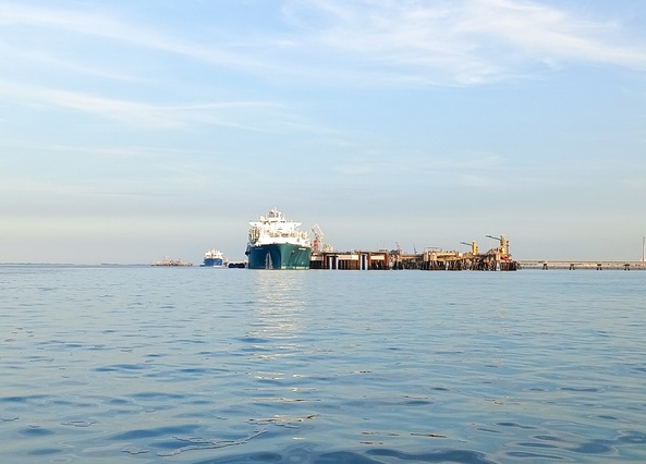
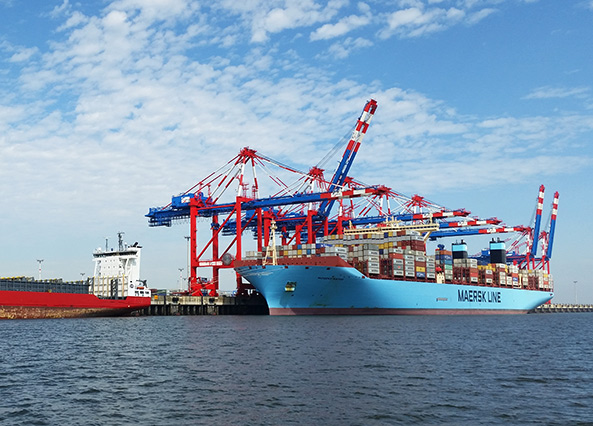
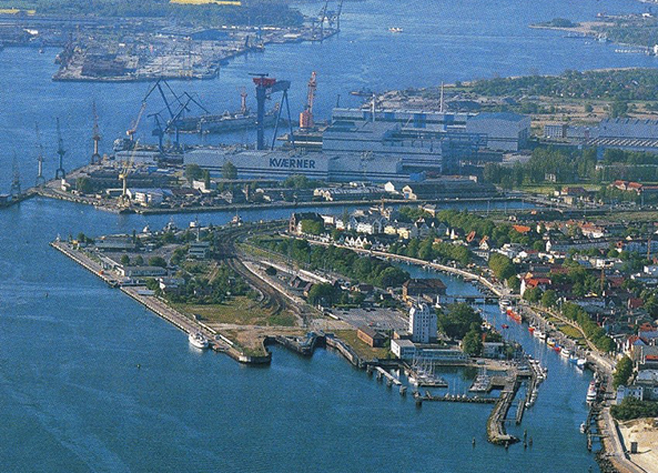
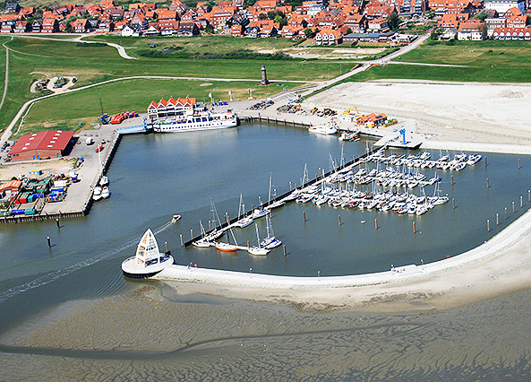
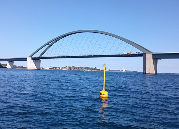
Picture gallery of the project Fehmarn sound crossing: long-term measuring positions


Picture gallery of the project Fehmarn sound crossing: Current measurement surveys


Picture gallery of the project Fehmarn sound crossing: Water and sediment sampling


Picture gallery of the project Fehmarn sound crossing: Impressions


IMP KEY PROJECTS:
MEASUREMENT PROGRAM FEHMARN SOUND CROSSING