Studies on the routing and laying
Time schedule:
- 1998 – 1999 / 2006: Dredging and transport strategy for the dredged material produced during the laying of the NorNed cable
- 2002: Morphodynamic investigations around various cable routes for the development of the offshore wind farms “Amrumbank/West” and “Nordsee/Ost”
- 2010 / 2012: Morphological study on the fairway crossings of the rivers Jade and Weser for the Nordergründe cable route
- 2011 – 2013: Hydromorphological and environmental feasibility study considering possible conflicts of use of cable laying in the Westerems
- 2012 – 2013: Morphological route study for the laying of the NORD. LINK cable
- 2012 – 2014: Hydromorphological and environmental feasibility study considering possible conflicts of use of cable laying in the Jade
- 2014: Morphological assessment of route variants for the Nordergründe cable route
- 2017 / 2022: Detailed study on the morphology and cable coverage of the Riffgat cable after partial inadequate cover and exposures
- 2020 – 2025: Geomorphological studies for various route corridors around Norderney
- 2024 – 2025: Geomorphological studies for various route corridors around Langeoog
- 2024 – 2025: Geomorphological study for various route corridors around Baltrum
Clients:
- Samenwerkende elektriciteits produktiebedrijven
- transpower offshore gmbh
- TenneT Offshore GmbH
- Arbeiten im Unterauftrag der MOLL-prd GmbH & Co. KG für Statnett
- Amprion Offshore GmbH
![]()
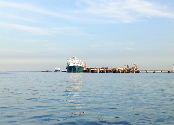
Based on specific questions regarding the laying of energy cables, the emergence of offshore wind farms has led to a need for general studies on route finding for the routing of energy cables between the wind farm sites and the connection points on the mainland.
Especially in the years 2011 to 2014, IMP conducted very extensive basic studies for the Westerems and the Jade to find route corridors for as many submarine cables as possible within the widely used and protected estuaries. In addition to the restrictions resulting from shipping, the concerns of the national park, other protected zones, fisheries and existing cable routes also had to be considered. In addition, there were also restrictions due to soils unsuitable for cable laying, risk potentials of former munitions dumping areas, archaeological artefacts and special biotopes. On top of this, morphological developments had to be considered and areas with high morphological activity had to be avoided when finding new routes
The results showed that despite the size of the estuaries, conflicts of use cannot always be avoided and the absorption capacity for submarine cables is significantly limited.
With the progressive planning for the offshore wind farms from the mid-2010s onwards, questions about the concrete laying strategy and the thickness of the cable covers came to the fore. From a technical and economic point of view there are limits to the laying depth of the cable, and from an environmental point of view, on the other hand, the cable laying should be designed in such a way that reworking on an inadequate cover and exposures is avoided as far as possible. As a rule, a minimum coverage of 1.5 m over the operating time of the cable is considered sufficient in the German coastal area. Significant shortfall of the coverage pose a safety risk, and the populated soil may be permanently disturbed or changed from the waste heat of the cable, which must be avoided at all costs from an environmental point of view.
In this regard, IMP has carried out many morphological studies to analyse the developments that have occurred so far and, on this basis, has derived forecasts for further developments in order to make recommendations for the laying of cables below the expected mobile soil horizon.
Due to the large number of planned cable connections and the increasing understanding of project operators of the need for sufficient data bases to derive low-risk development forecasts, sounding activities could be increased considerably. Based on this improved data, IMP is continuously optimising the forecasting tools it has developed in-house, so that even more differentiated recommendations for the laying depths of submarine cables can be made from a morphological point of view.
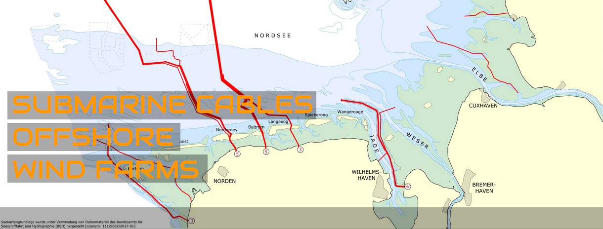
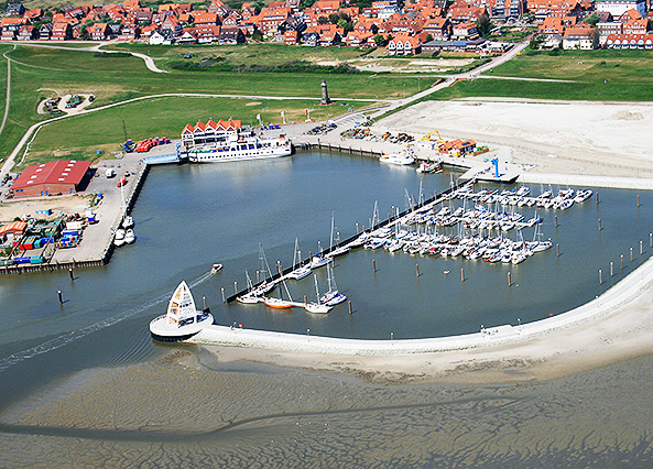
Overview map

IMP KEY PROJECTS
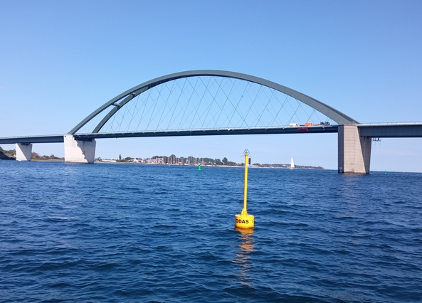
MEASUREMENT PROGRAM FEHMARN SOUND CROSSING